- Calli
- Vaporetto
- Acqua alta
Walking in Venice is not a picturesque extra. It is the street system. The islands have no cars, few ramps and a habit of changing direction every thirty metres. Once you accept that, the city becomes readable.
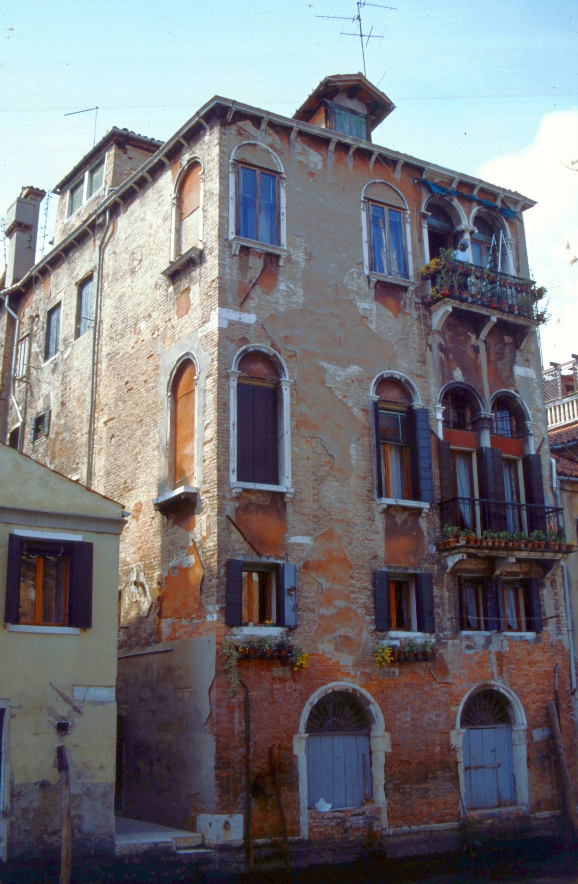
Calli and nizioleti
A calle is a street. A ramo is a short branch, often a dead end. A fondamenta is a quay along a canal. A riva is a more important quay. A campo is a square, because these squares were once grass. The yellow stencilled signs with a black border are nizioleti, little sheets. They name the calle in Venetian spelling, which is why rio tera means a filled canal and why San Zanipolo is Santi Giovanni e Paolo.
House numbers restart in each sestiere. Do not hunt for a rising sequence across a bridge. Look at the district name on the sign.
Bridges with steps
Most bridges are stone arches with steps on both sides. A few have ramps, usually where a modern rebuild insisted. Suitcases, wheelchairs and buggies all meet the same geometry. The Constitution Bridge at Piazzale Roma and the Scalzi and Accademia bridges are the large crossings of the Grand Canal, with Rialto as the fourth. Everywhere else is a small hump over a rio.
The vaporetto is the bus
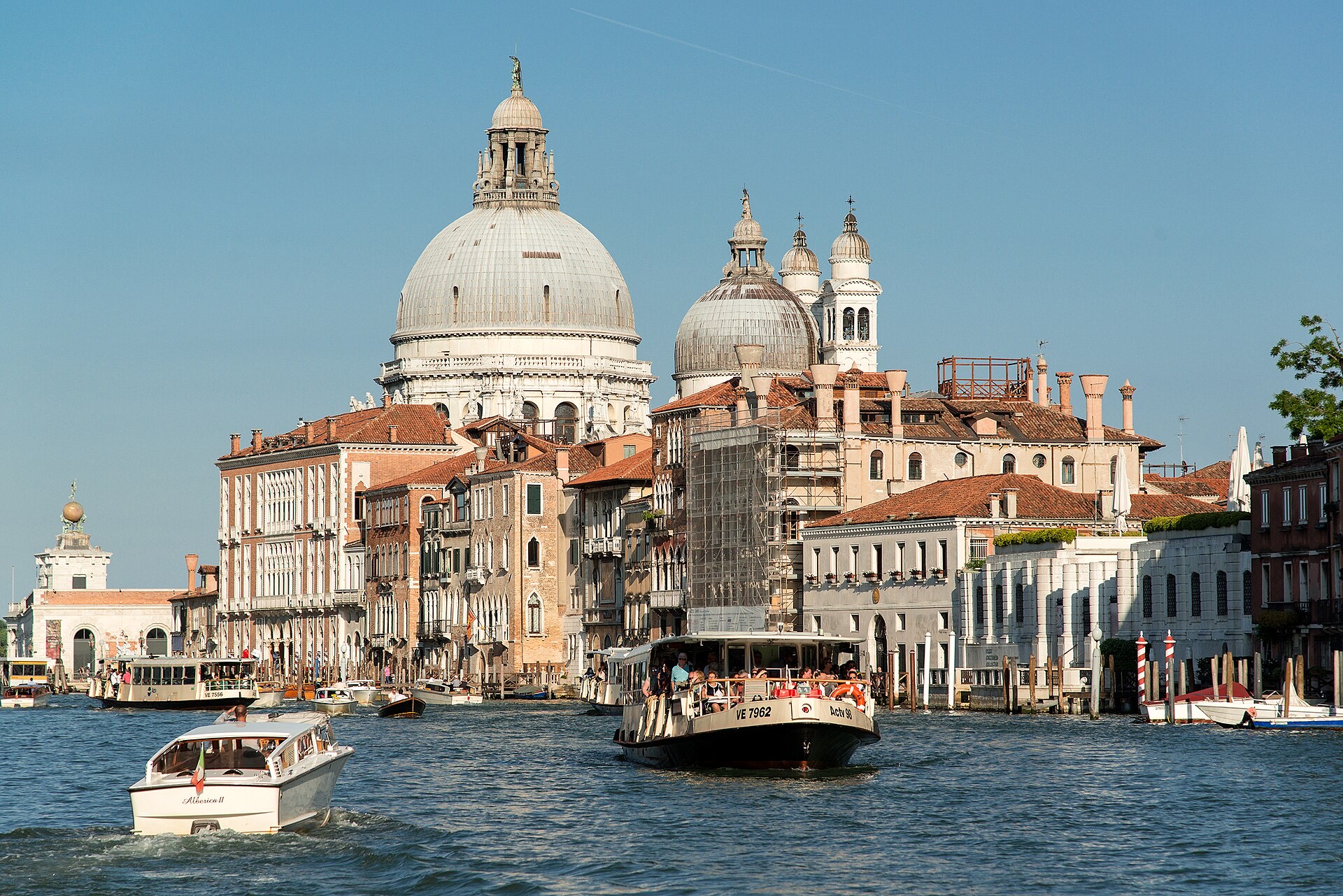
ACTV runs the waterbuses. Line 1 crawls the Grand Canal and is the orientation ride. Line 2 is faster and skips stops. The circular lines 4 and 5 loop the islands. Tickets are timed, not distance-based in the way a metro is. Validate before you board. Inspectors do not enjoy explanations. Night boats exist. Timetables move, so use the operator, not a screenshot from a blog.
A traghetto is a public gondola that crosses the Grand Canal at fixed points. You stand. Locals use it as a shortcut. It is the right use of a gondola if you care about getting to the other bank rather than being photographed.
Fondamente Nove and the horizon
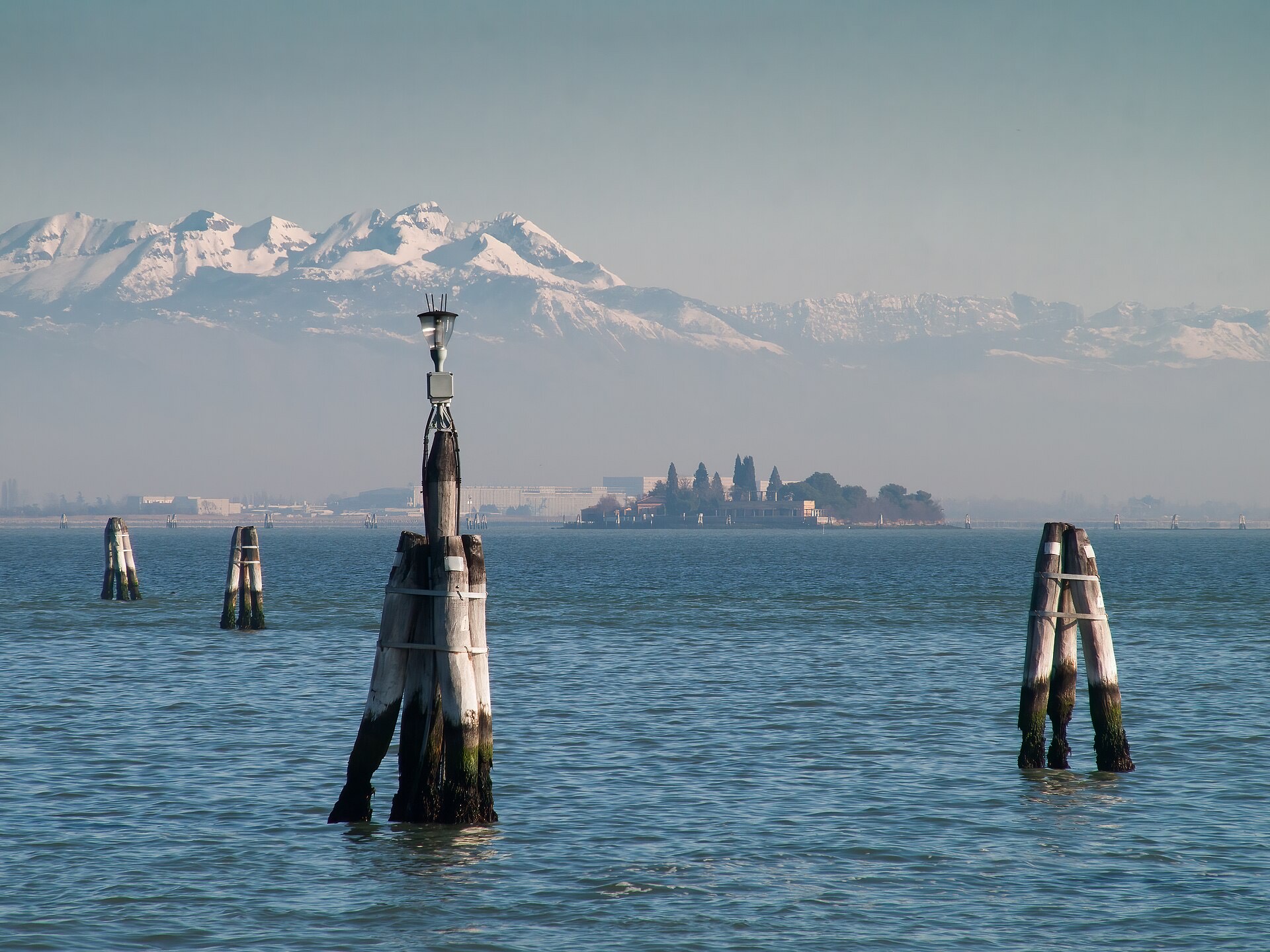
When the alleys close in, walk to a long quay. Fondamente Nove faces the northern lagoon. The Zattere faces Giudecca. Either one will reset your sense of direction. Boats to Murano leave from the Nove. The cemetery island of San Michele is the first stop, a brick wall in the water.
Acqua alta
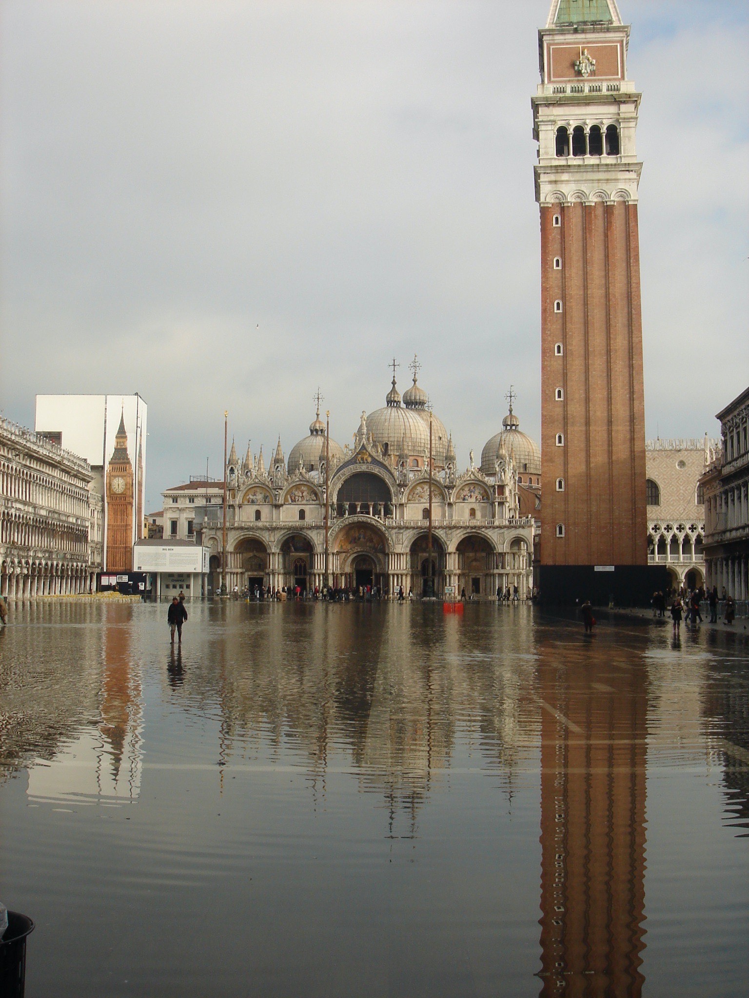
Acqua alta is a high tide, often in autumn and winter, pushed by wind and pressure. Sirens sound a warning. The city publishes levels in centimetres above the standard tide gauge at Punta della Salute. Around 110 cm the piazza starts to flood. Wooden walkways go down on fixed routes. MOSE barriers at the inlets now close for higher events, which has cut the number of deep floods. It has not made the piazza immune to a wet floor.
Rubber boots are sold everywhere in season. A better plan is to watch the forecast the night before and walk around the square rather than through it if the passerelle are crowded.
Short answers
Do I need a vaporetto if I like walking?
Not for a short stay in San Marco and San Polo. Yes if you are going to the islands, the Giardini, or anywhere after your feet have done the bridges.
Are the streets signed in English?
No. Follow San Marco, Rialto, Ferrovia, Piazzale Roma. Those four words will carry you across the city.
What about bikes?
Not in the historic centre. The Lido and Mestre are the places with bikes. Venice is steps.